El tree amigos

My spanish today reflects my spanish then — actually aaserting "my spanish" is nuts, I have no spanish or anything else for that matter. Nevertheless, I liked these three trees in November of 2007 and I liked them last weekend. Trying to be a bit less heavy handed with the B&W conversion, while at the same time making the trees pop. Not so sure this is it but ...

On the Tallgrass Prairie National Preserve.

Three Trees - KS 177 betwee Strong City and Council Grove

And — down the road a piece. An abandoned house under the contrails.

Flint Hills

of Kansas. A variety of snaps.  Probably will move some around later.  The ones that are here are from Burns, Volland and the Tallgrass Prairie National Monument. Click here or the snap to wiz off to the gallery.

Abandoned elevator - Burns, KS

The Flint Hills

The Oklahoma state Fair was somewhat of a bust, for a variety of reasons, more on that later but the Flint Hills of Kansas surely were not.  For starters the Lower Fox Creek School, on KS 117, north of Cottonwood Falls at sunrise this AM.  Nothing beats great light.

Lower Fox Creek School - Tallgrass National Prairie

Smashburger! Then why not...

Smashsnap!
Why not indeeed!  But why stop there? Why not mash, purée, cream, crush, press, liquidize, liquefy, sieve, squash, pound, macerate, grind, mince them? Not just one verb at a time lots of them.  Totally Rad's Dirty Pictures with Flypaper Textures to get, well... dirty snaps. The snap from Morland, KS two weeks ago, symbolic of the flight to OKC this evening. Recipe to follow later in the week.

and one from Anisquam, MA on Mother's Day 2011 

Last snap of the day

See the Denver to KC photo dash described in the prior posts below.  It all came to a pretty abrupt end right here.  The stop was for roadwork but it also foretold the end of the US 24 snapfest. I drove thru the edge of this a few miles ahead but really got nailed once on I70 between Manhattan and Topeka. I can't remember ever being in a storm like this — the temperature drop was stunning as well, from just under a hundred to just under seventy. Finally, it caught up with me again about an hour after I checked into the Marriott at the KC airport.  

I did pass up a couple of very nice opportunities just down the road from here in Clay Center but I wanted to get to KC ASAP.  Rather than continue the B&W streak this one is in color. Living color, cropped to 16x9 which is rather unusual for me.  

Canon 5D Mk II, EF24-70 f/2.8 L @ 70mm, F/8.0, ISO 100, 1/2500.

The US 24 inaugural west to east photo dash

This a place holder for the main post for the trip from Denver International Airport to Kansas City International Airport.  The "transit stages" were along I70 from DEN to Colby, KS and from Manhattan, KS to MCI.  The snaps are from just east Colby to just west of Clay Center along US 24, mostly through the Solomon River Valley from Hoxie to Glasco.

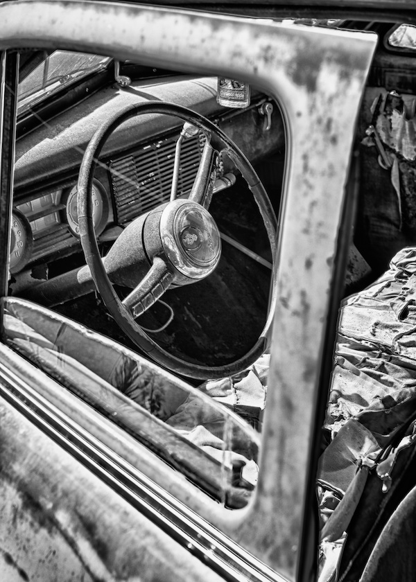
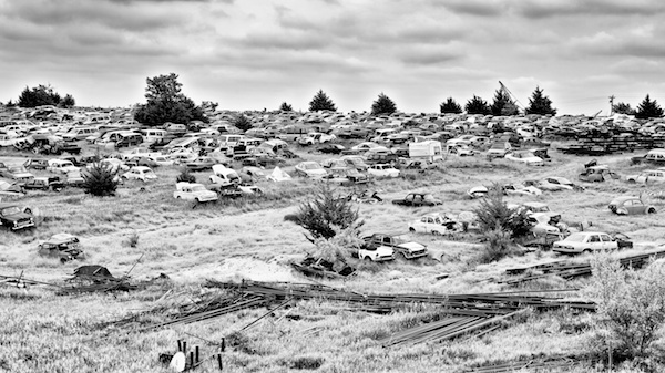
US 24 is an fabulous road, in superb condition. It is like half of a two lane interstate, with traffic flow in both directions.  Note the word flow 'cause there sure ain't no traffic.  Posted at a non-enforced 65  — driven at 85. A hoot all by itself, although something further up the Hertz prestige curve would have been a nice addition. That wasn't to be, this trip was done on the cheap, on points, the car and the hotel both gratis and the part of the world limited the food spending to under $50 ($30 of that at the KC Airport Marriott).  Tolls on the Kansas pike were $2.50. So as usual the biggest cost of taking digital photos was gas, the Dodge Journey managed just over 20mpg at what was mostly 85mph but zooming the 640 miles ate up about $125 worth of gas — worth every bit of it. The detritus level in north central Kansas is high and it is very photographically accessible.

My detritus observation will be exemplified out over the next day or so as I get the snaps processed and posted. When I remembered, I grabbed the GPS coordinates, although, even forgetful use, killed the iPhone by the time I got to Manhattan — need to remember bring a DC charger. 

The snaps will probably wind up in a gallery but just to get things started here are a few, that will likely get moved as this post evolves.

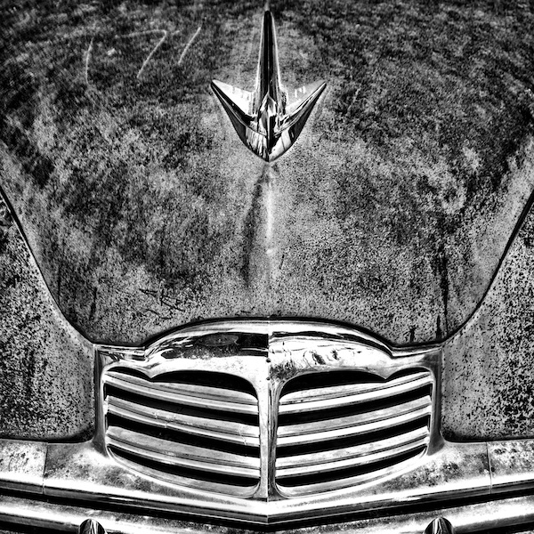
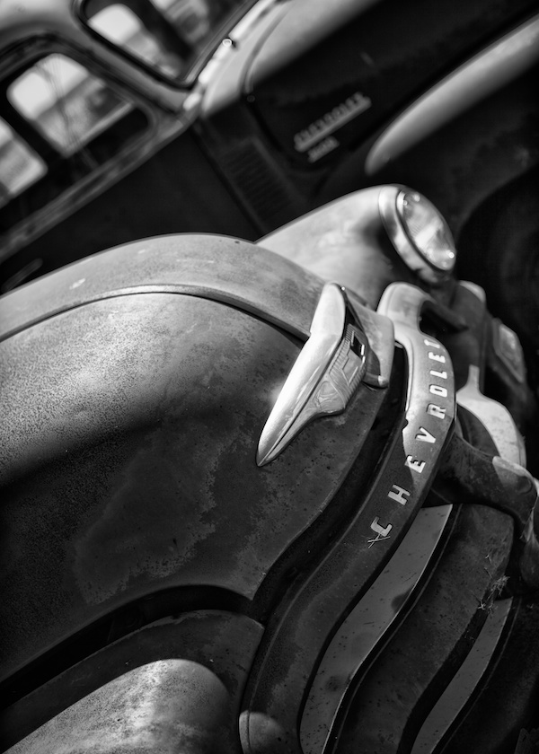
Just east of Colby — happy harbinger of stuff to come.
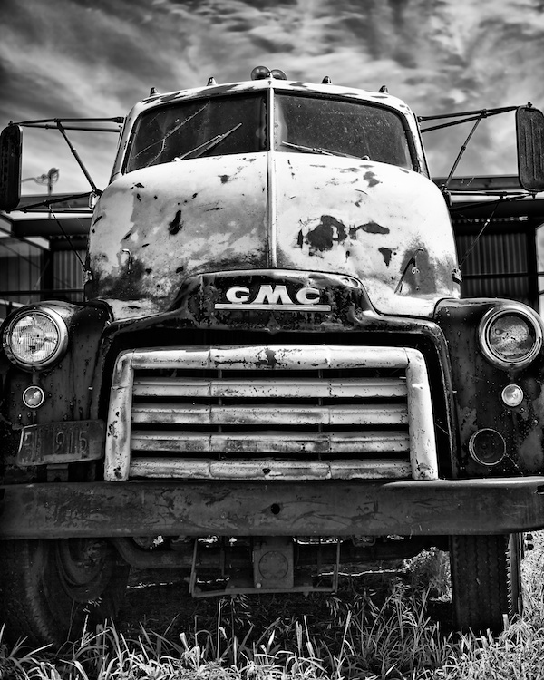
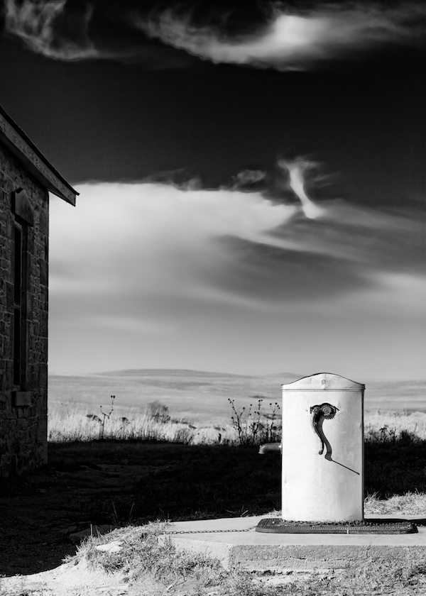
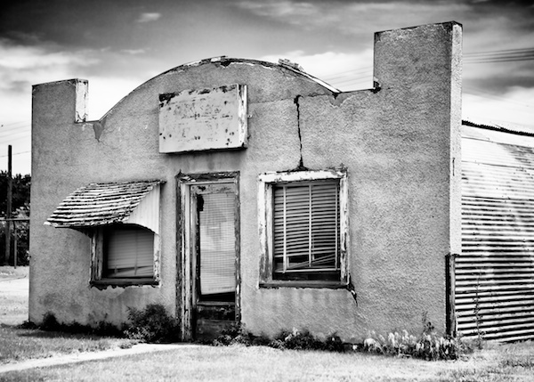
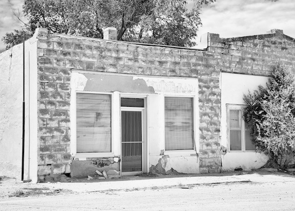
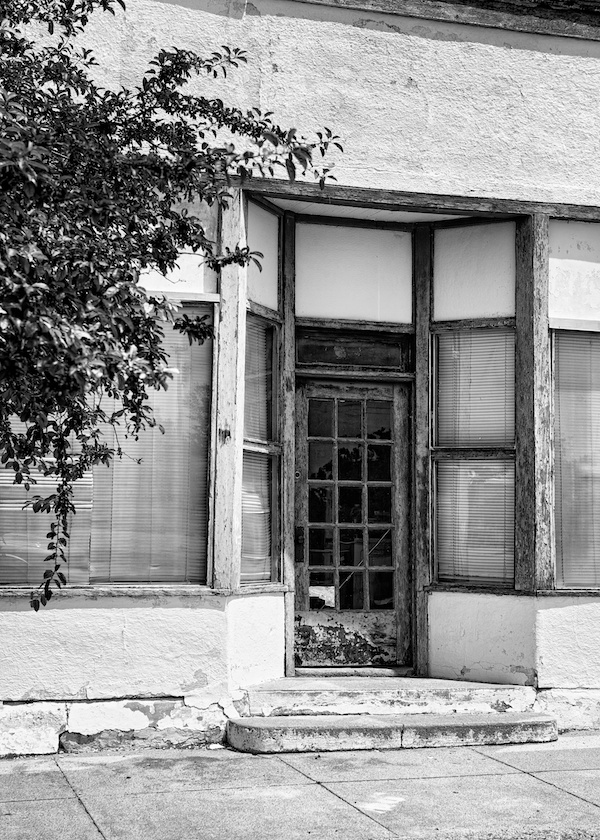
Main Street, Hoxie.

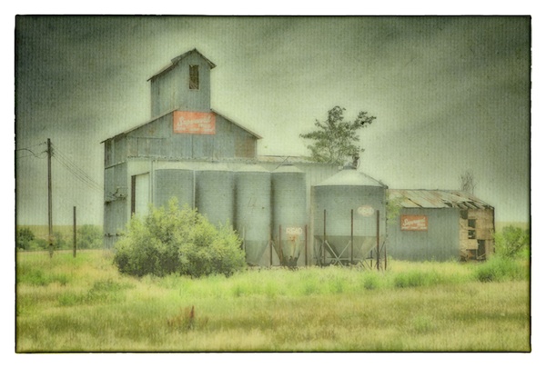
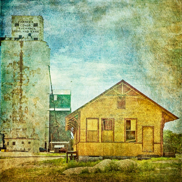
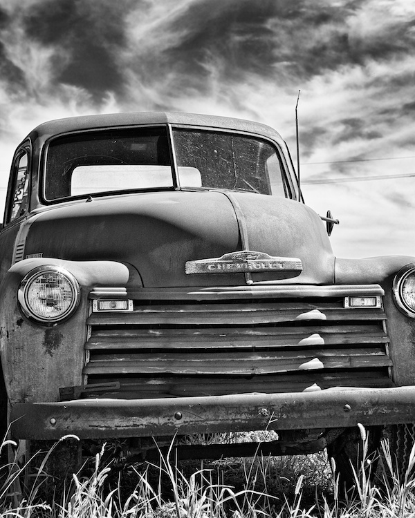
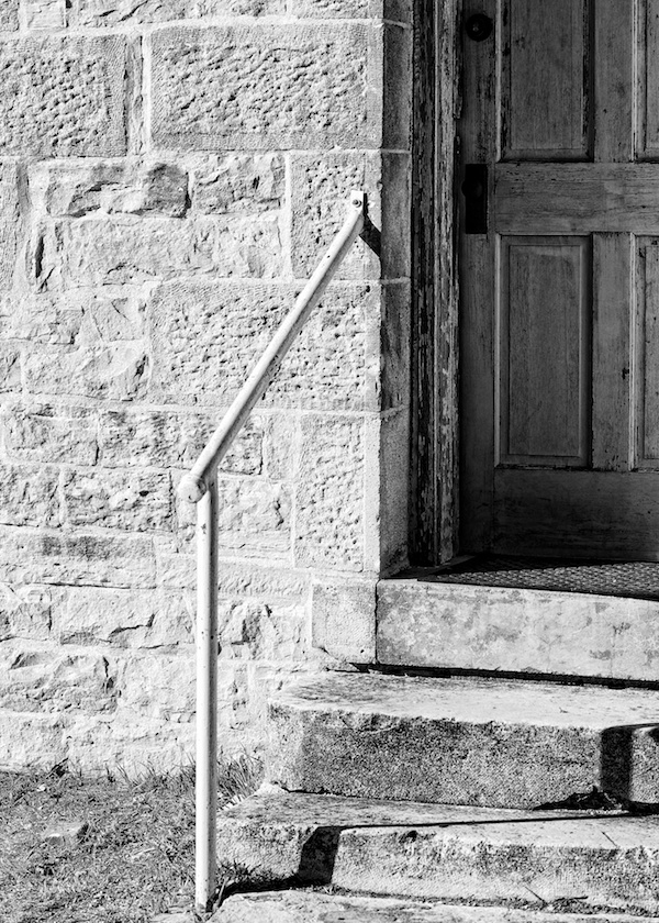
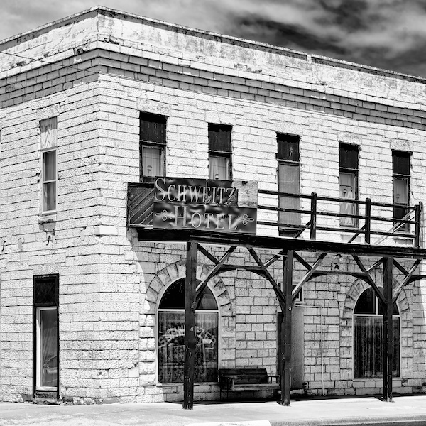
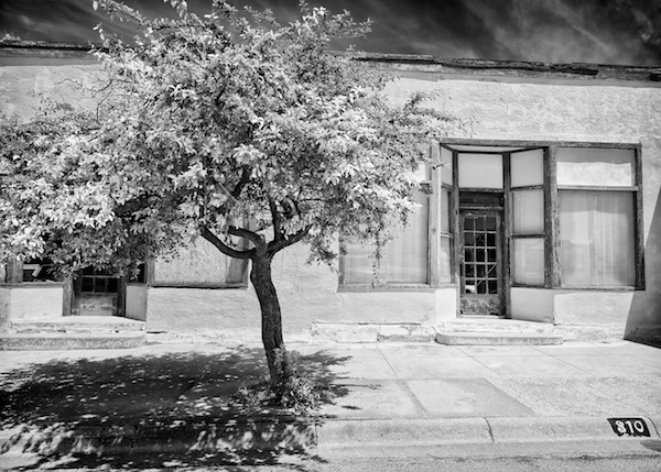
Around 5th and 6th Streets in Moreland.


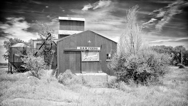
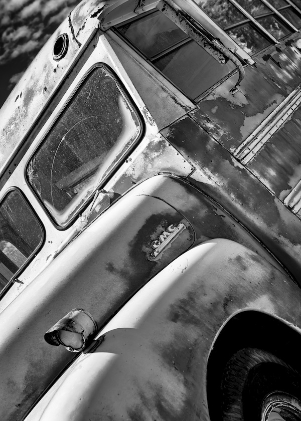
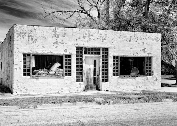
A couple of high key snaps from hot and dusty 4th Street in Penokee


US 24 in Hill City.

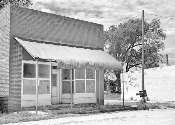
Main Street in Bogue.


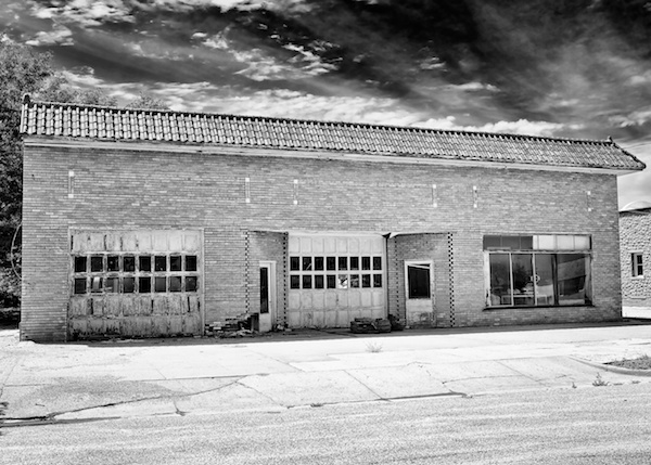
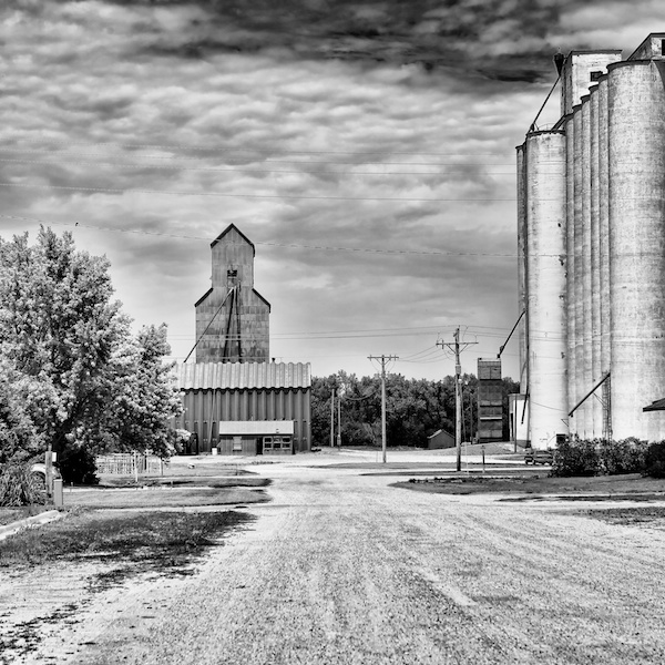
On US 24 in Stockton.

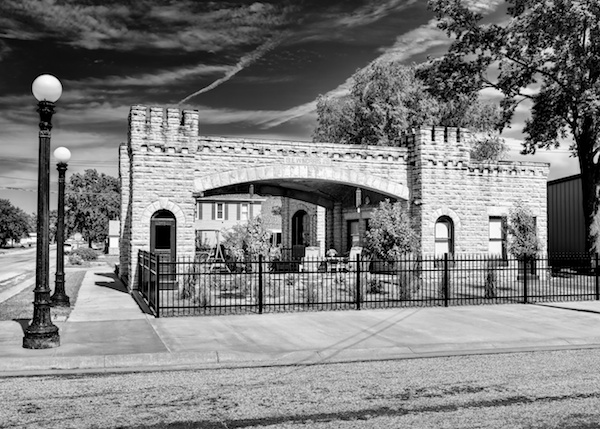
On US 24 at Hobart Street in Glen Elder.

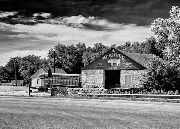
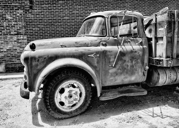
Multitasking in Glen Elder

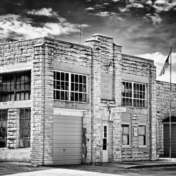
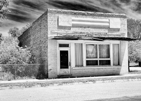
At one time gasoline in Glen Elder
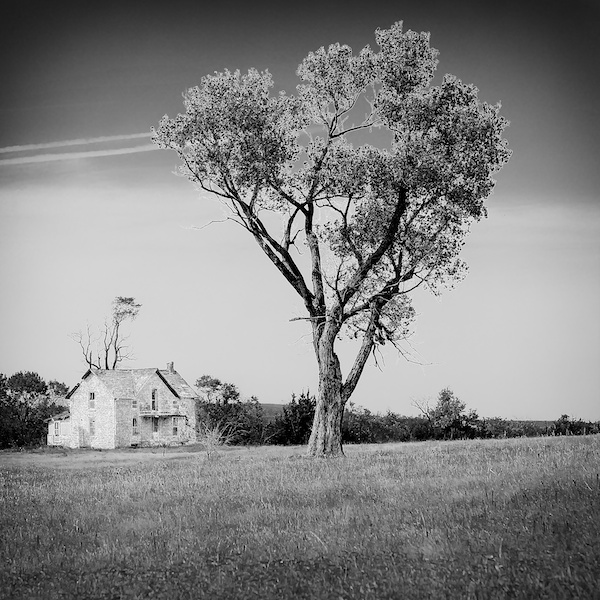
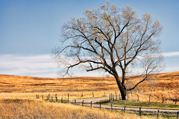
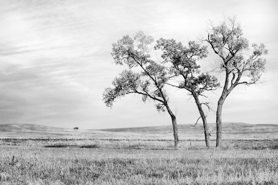
Cawker City

A "city" on US 24 in the middle of Kansas — 1999 population 595.  Home to the "World's Largest Ball of Twine". Missed that but found this, among others.  Lots more to post from todays traverse of Kansas from west to east — mostly on US 24.


So more from Cawker City, the home of Detritus Motors.

First one way...

then the other.


One more.

and then some more...


Dorothy

So... the SO tells me she has reason to believe she (Graceland perhaps) is actually from Kansas — despite the MA in her passport.  I am on the road again and since, unlike Dorothy, she has never sullied her ballet (ruby) slippers in The Sunflower State, I offer this snap from the American Roadways gallery on Smugmug.  Just off KS 177 - Tallgrass Prairie National Preserve, Flint Hills, KS in November 2007.  Highly dependent on RRS and the Gitzo.

A solitary tree waging the unwinnable war against grass.  The longest running conflict on the planet. More